


Map and Navigation UI Design

Automotive UI Design

Conceptual work depicting navigation within a 3D interactive map; experimenting with a variety of render styles and post production techniques.

Created for HERE technologies –  part of Audi, BMW, and Mercedez-Benz Group, who also provided the 3D map data used.

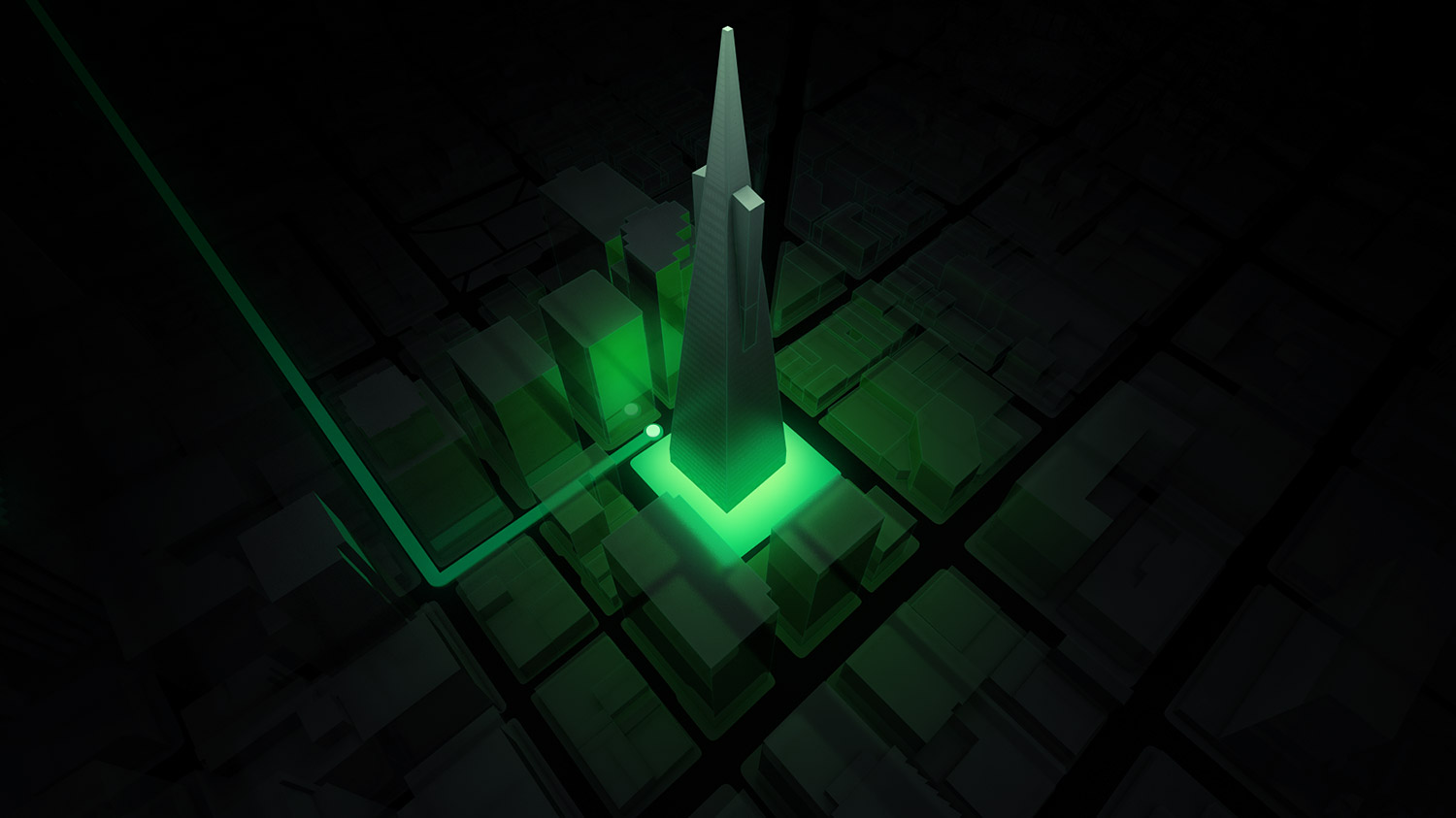
A dark, top-down isometric 3D map render of an urban city block grid, highlighting a prominent architectural spire structure illuminated by a brilliant cyan and white base glow to indicate a navigation destination point.
An isometric in-car navigation screen concept displaying a sharp green vector route path winding through a dark geometric city matrix towards a luminous green illuminated tower landmark.
A high-end 3D navigation interface concept illustrating a destination arrival frame, featuring a hollow structural wireframe overlay wrapped around a glowing green tower with a targeted waypoint radar node at its base.
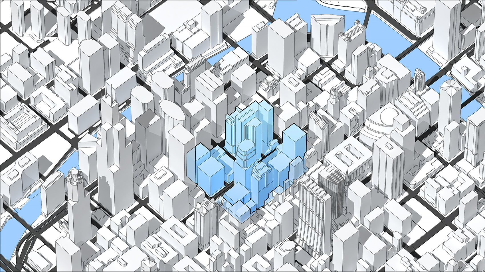
A high-angle isometric 3D urban map render demonstrating display modes for a navigation UI, featuring a stylized cluster of high-rise city buildings highlighted in solid pale blue amidst a surrounding landscape of white architectural blocks and light blue waterways.

Map Selection Concepts

Navigation UI

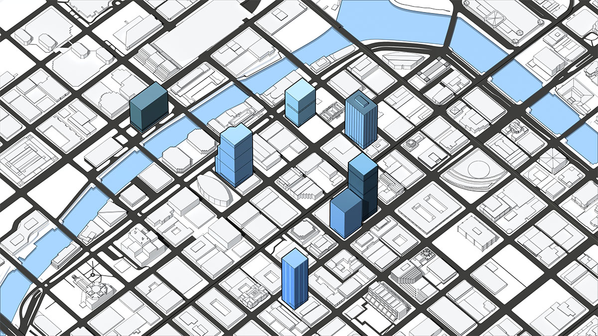
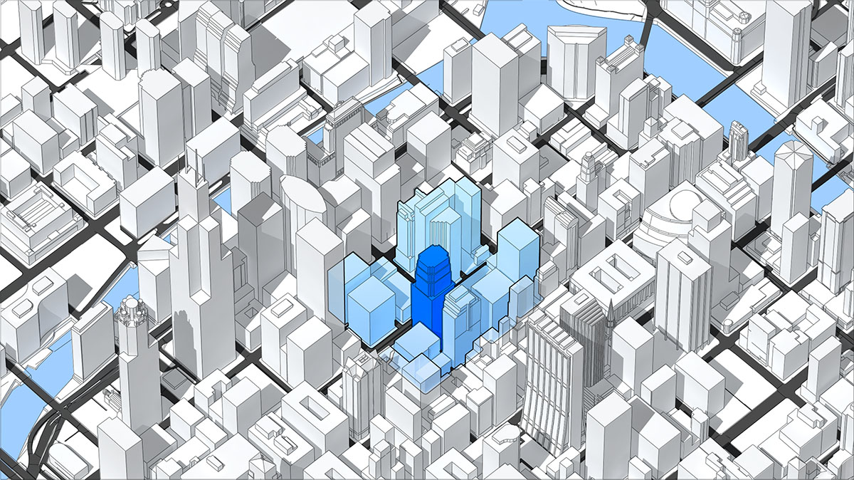
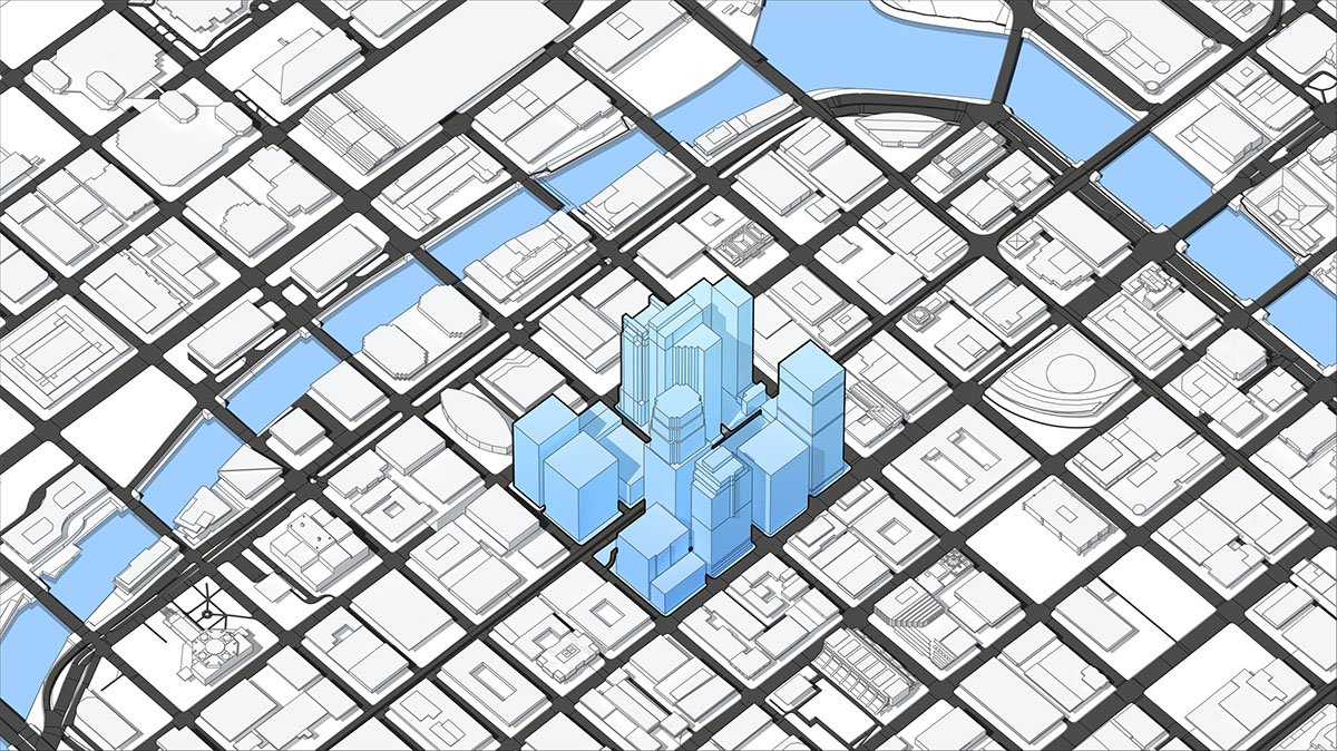
A series of conceptual explorations, experimenting with different render treatments.

This set concentrated more on the types of display modes/switches available, such as buildings vs. routes vs. display modes, etc.

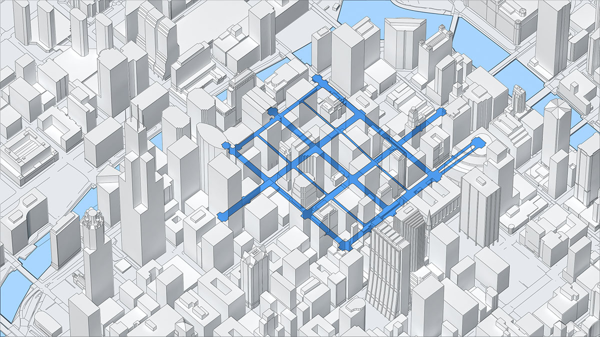
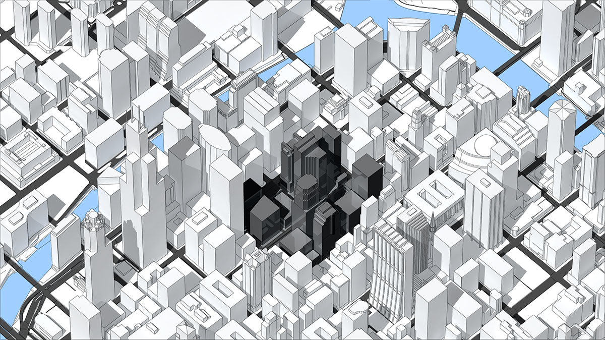
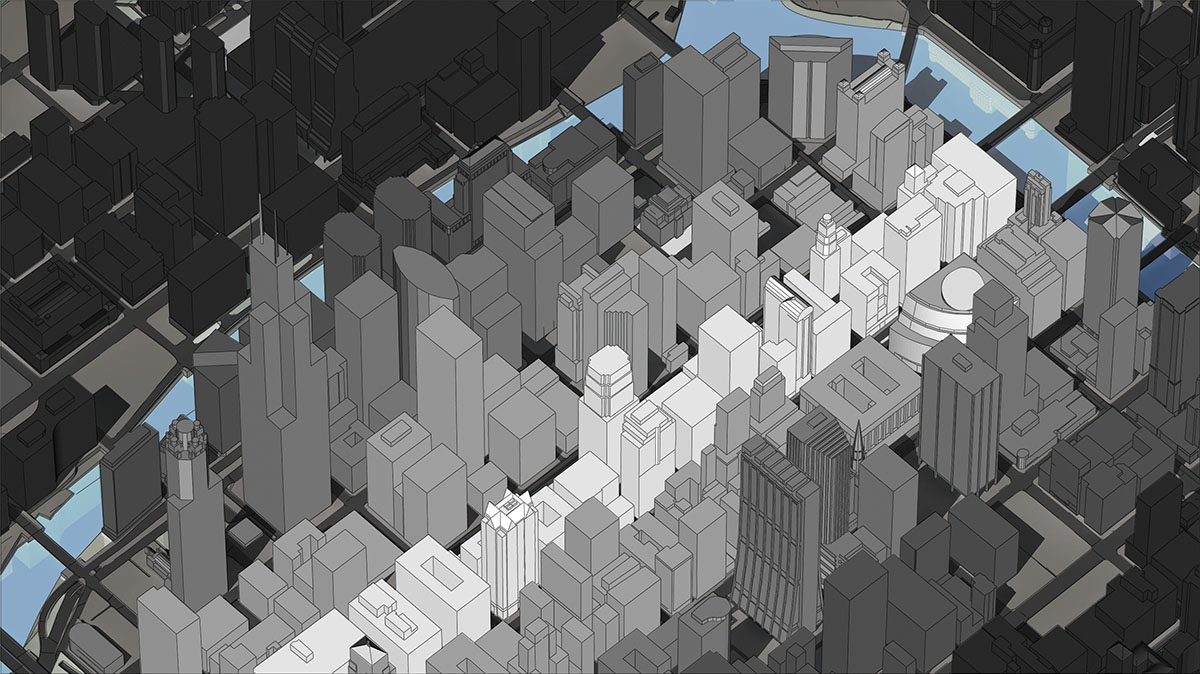
Thought was also given to how highlighted areas might be occluded by the surrounding environment, with explorations into solid and x-ray occlusion methods.

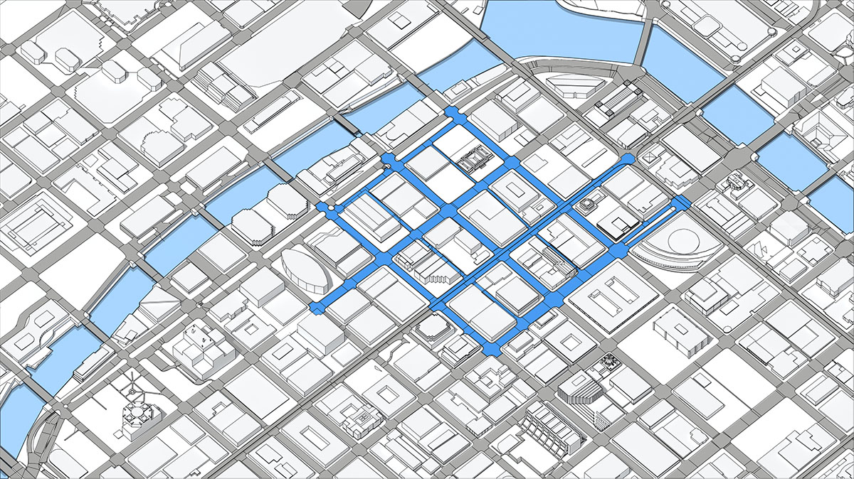
A crisp, technical 2D vector blueprint layout of a city map grid, showing a sprawling network of streets and crossroad junctions overlaid with a thick, geometric blue route guidance path.
An experimental 3D map concept from image_e83c5f.jpg focusing on environment occlusion, displaying a blue linear route matrix seamlessly visible beneath and through a dense field of semi-transparent, white 3D skyscrapers.
A minimalist, flat-shaded 2D city street grid layout where only select skyscraper landmarks are raised and highlighted in dark and light blue, demonstrating focused point-of-interest mapping.
A high-angle isometric 3D cityscape render showing dense white architectural blocks with a central cluster of corporate skyscrapers highlighted in bright blue to illustrate an active map selection.
A technical vector blueprint map layout featuring a flat street grid, where a specific urban sector or block zone is elevated and highlighted by a solid pale blue structural cluster overlay.
An experimental look-development frame exploring environment occlusion, featuring a field of white 3D building models with a central sector inverted into dark grey and black wireframe silhouettes.
A moody, low-poly 3D urban cityscape rendered in a dark grey monochrome aesthetic, highlighting a single linear corridor of high-rise structures in clean white to track a path trajectory.
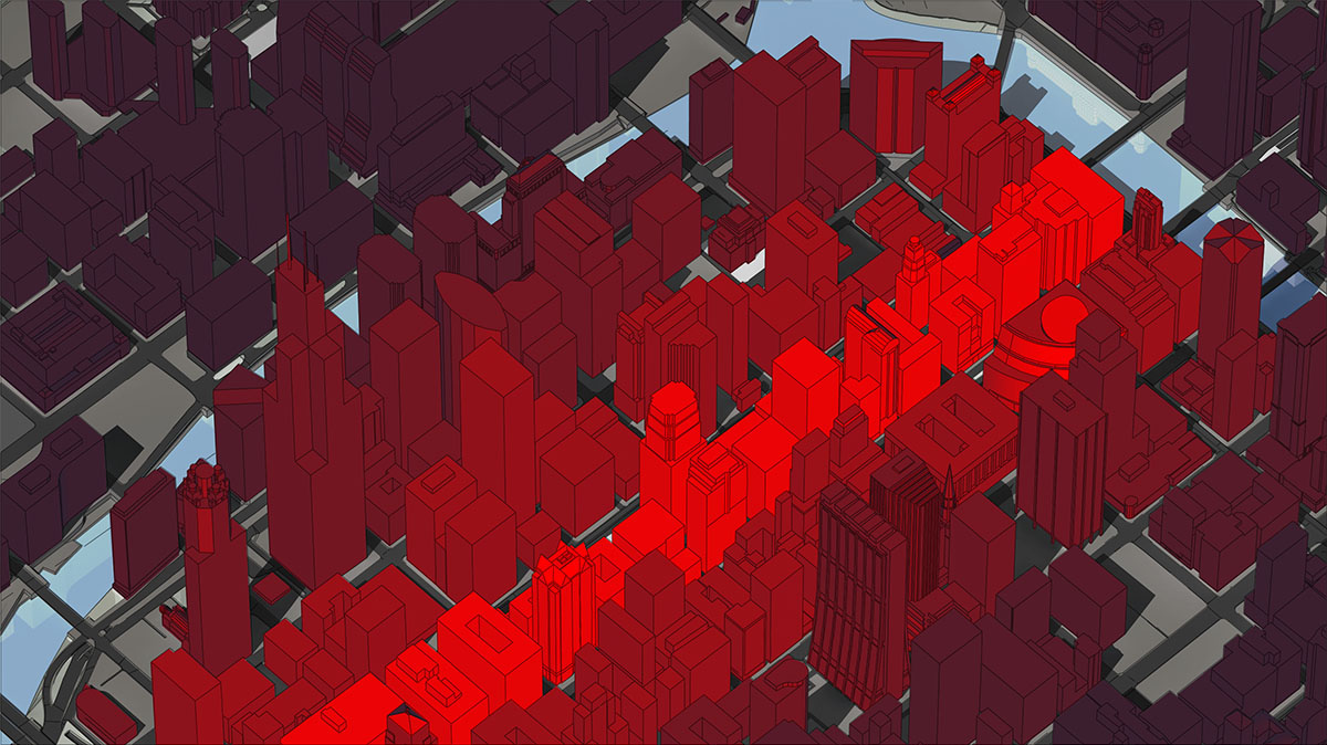
A high-contrast automotive night-mode map concept, showing a dark maroon 3D city structure grid intersected by a vivid, glowing red linear route corridor tracing through the urban block.

Navigation Styling Concepts

Navigation UI

Utilizing 3D city data provided by HERE, the concepts here explore different navigational styles for 3D maps.

Tasked with exploring render treatments; render passes were used extensively for fast iterations and flexible adjustments post-render.

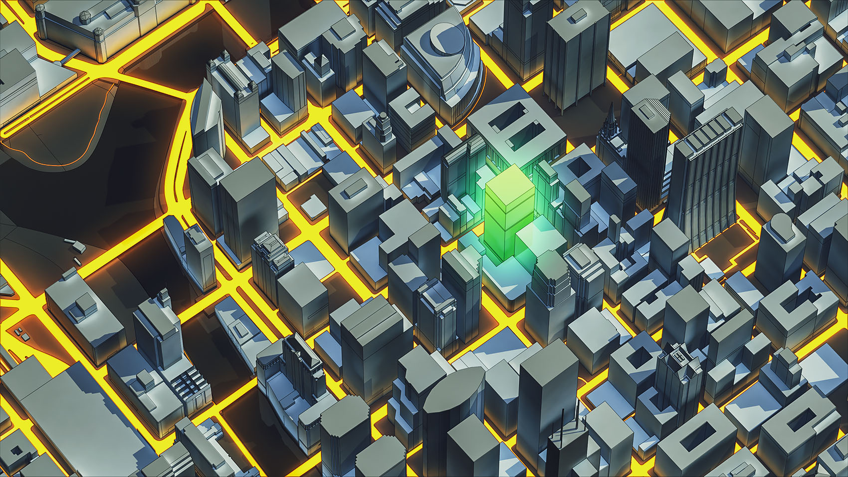
Related explorations included: heat-maps, highlighting specific landmarks, and representing navigational cues along a predefined route.

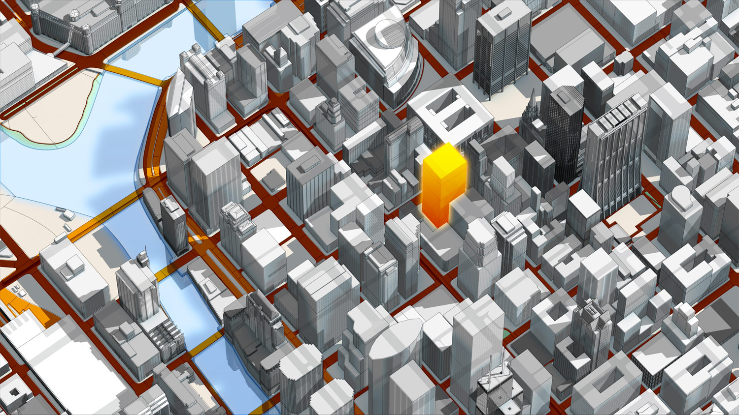
A high-angle isometric 3D urban map render showcasing real-time traffic data via glowing orange and yellow heat-map road networks, with a central high-rise destination building isolated in a luminous lime green glow.
A bright daylight look-development render of a dense 3D city grid featuring matte grey architectural buildings, clear blue waterways, and crisp geometric shading designed for daytime in-car navigation displays.
An isometric 3D automotive map concept displaying dark orange route borders across a city grid, highlighting a targeted skyscraper landmark in a vibrant amber-orange selection glow to indicate real-time traffic alerts.
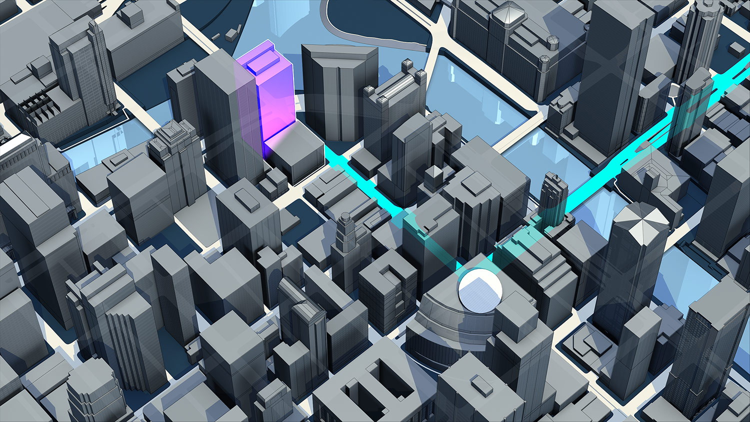
A sleek, slate-grey 3D map layout tracking a sharp cyan vector path corridor through high-rise blocks, featuring a bright white circular waypoint indicator mapping a precise upcoming turn maneuver.
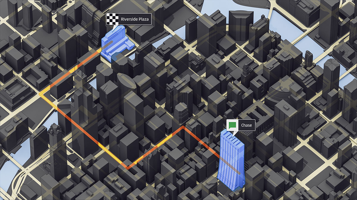
A high-contrast dark night-mode navigation display showcasing an orange route vector path with floating UI interactive label flags marking destination points of interest like Riverside Plaza and Chase.
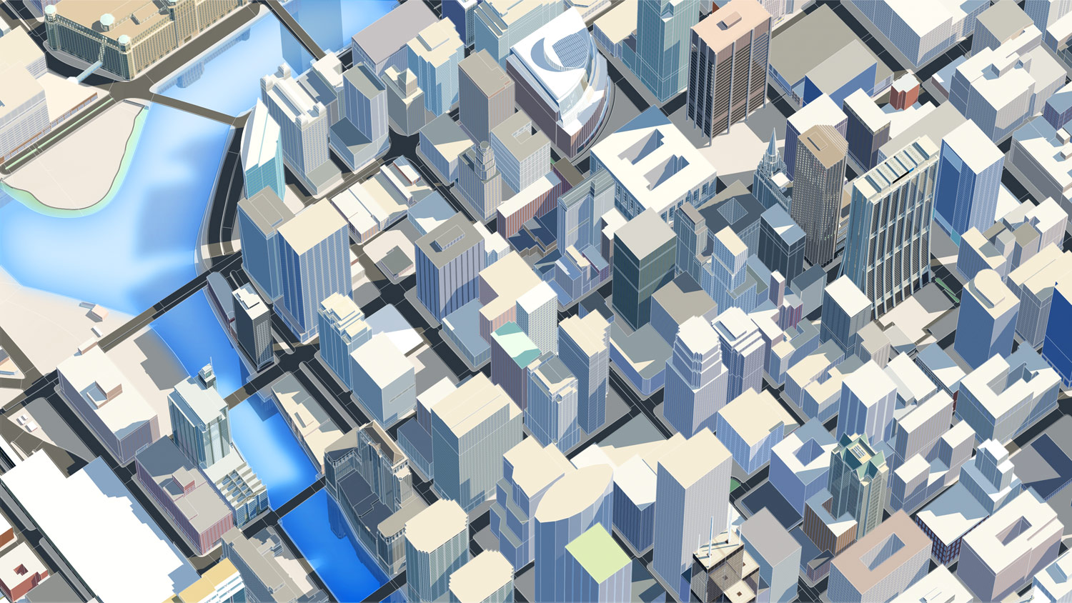
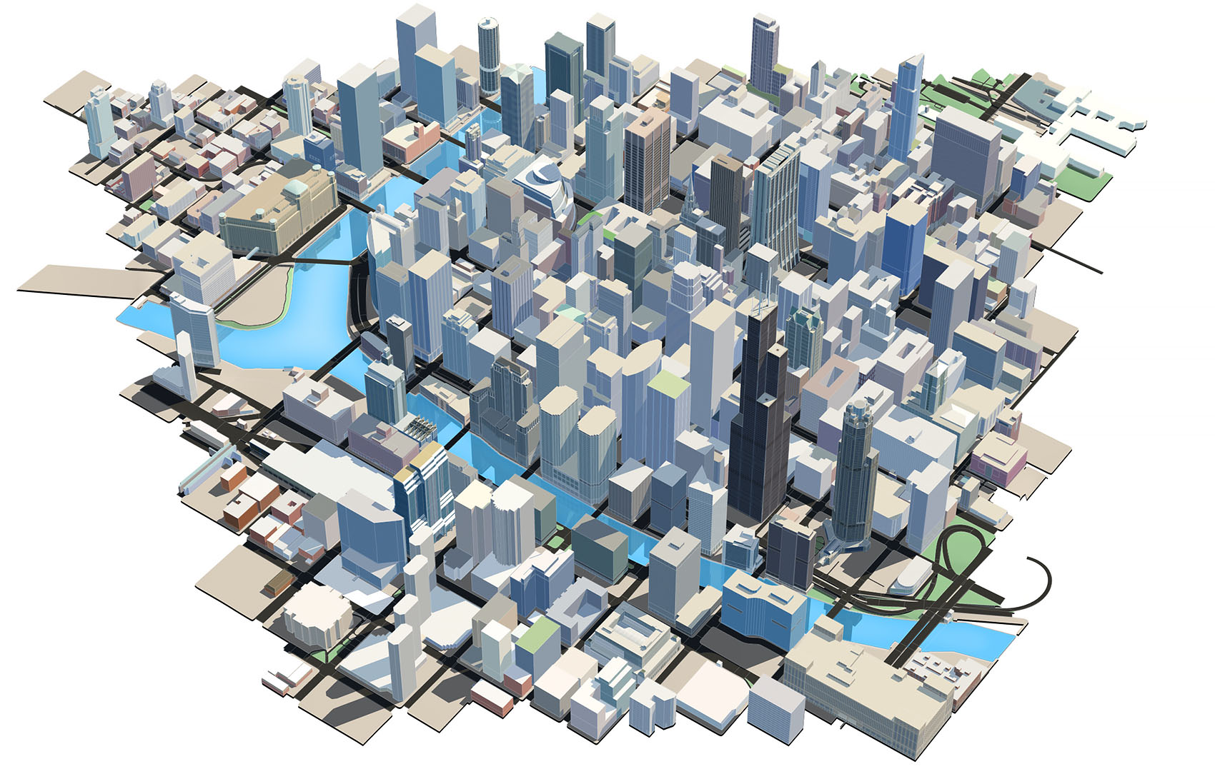
A wide, high-angle isometric 3D urban map render of a zoomed-out regional city area, showcasing a clean, multi-toned architectural treatment with light beige, grey, and dark blue skyscraper assets intersecting light blue waterways.

City Styling Concepts

Navigation UI

A set of 3 conceptuals exploring different styling for a zoomed-out region of a city.

3D city data was provided by HERE, which was imported into Maya and processed further, making extensive use of render layers in the set-up.

Renders were broken down into several render passes so that full control was available in post when trying different looks.

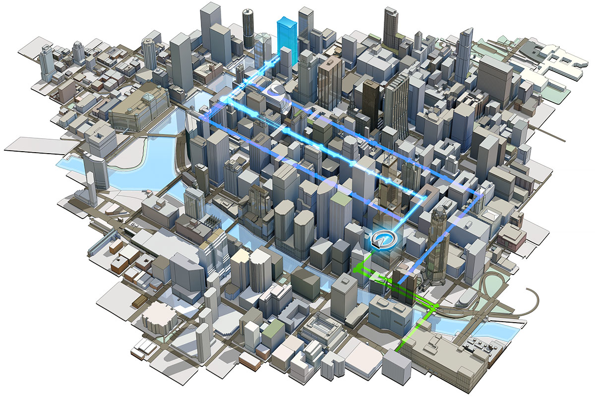
An isometric 3D automotive map concept displaying a complex urban environment overlaid with two distinct active navigation paths, highlighting a primary bright blue route with waypoints and an alternative green route corridor.
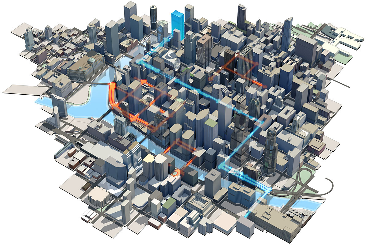
An interactive 3D navigation display concept showing real-time traffic flow integrated into a city grid, utilizing glowing orange and red route highlights to indicate localized road congestion alongside alternative clear blue vectors.